HXEU065R-g3 Baltic Sea, East Coast
€169.99
Prece pēc pasūtījuma

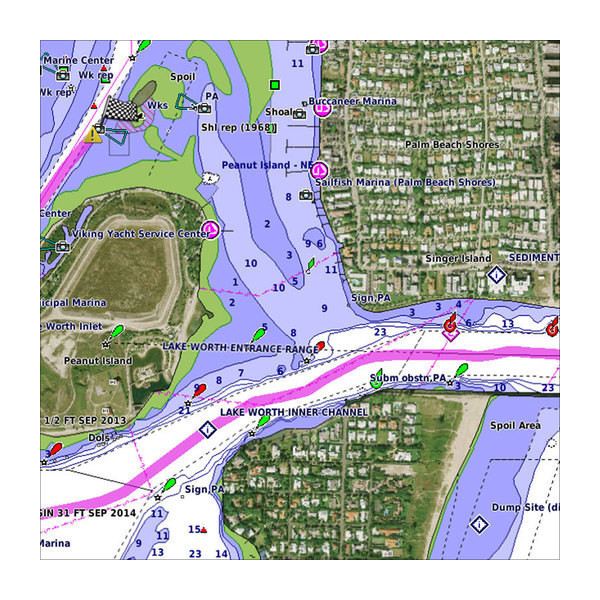
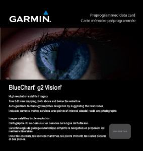
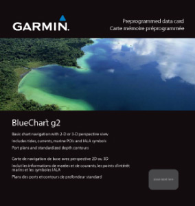
See your vessel’s precise, on-chart position in relation to navaids, coastal features, anchorages, obstructions, waterways, restricted areas and more with this detailed marine mapping data.
Shaded depth contours, coastlines, spot soundings, navaids, port plans, wrecks, obstructions, intertidal zones, restricted areas and IALA symbols.
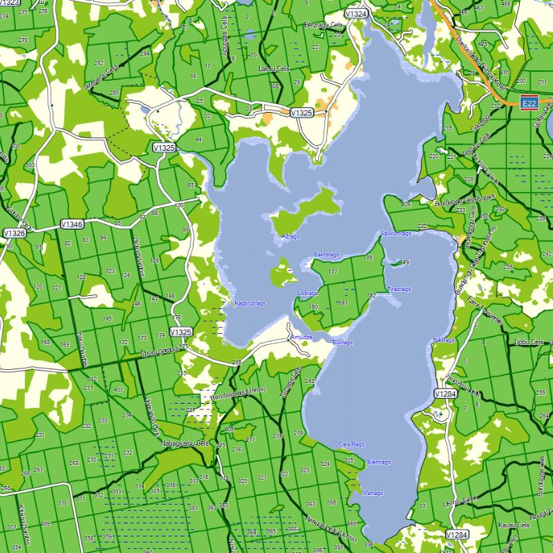
Seamless transitions between zoom levels and more continuity across chart boundaries.
Standard 2-D direct overhead or 3-D “over the bow” map perspective for easy chart reading and orientation.
Safety Shading* enables contour shading for all depth contours shallower than your defined safe depths.
Fishing Charts* to scope out bottom contours and depth soundings with less visual clutter on the display.
Features up to 1-foot HD fishing contours which reveal detailed seafloor terrain.
Plan and organize routes from your computer with HomePort™ (sold separately).
Šī zīmola preces